Наші кейси

Виберіть направлення:
Thank you! Your submission has been received!
Oops! Something went wrong while submitting the form.

Architectural drawings of a school building

CAD
Аrchitectural drawing
Point Cloud
A set of 2D CAD drawings (elevations and sections) of a school building in Germany was prepared by Archizem specialists based on a point cloud. The deliverables were produced to accurately document the asset and to provide baseline data for future refurbishment and modernization works.

Cross-Section Profiles of a Railway Track Based on Point Clouds

Civil 3D
Point Cloud
Cross-section
Archizem’s engineering team produced accurate cross-section profiles for a railway track section using point-cloud data. To achieve the required accuracy, mobile laser scanning data captured with the Trimble MX9 system were combined with total station survey results. This workflow provided highly reliable and detailed source information.

Cross-Section Profiles of a Railway Track Based on Point Clouds

Civil 3D
Point Cloud
Digital Terrain Models
Archizem’s engineering team produced accurate cross-section profiles for a railway track section using point-cloud data. To achieve the required accuracy, mobile laser scanning data captured with the Trimble MX9 system were combined with total station survey results. This workflow provided highly reliable and detailed source information.

Digital Terrain Model Along a Railway Line

Civil 3D
Digital Terrain Models
Point Cloud
Archizem’s engineering team produced a digital terrain model (DTM) along a railway corridor with a 40–60 m buffer. The surveyed section totals 21 km and covers both a densely built-up settlement area and a forested segment.

Digital Terrain Model for Noise Barrier Planning

Civil 3D
Digital Terrain Models
Point Cloud
A Digital Terrain Model (DTM) was produced by Archizem’s engineering team for an 8 km railway corridor with a 50 m buffer, covering areas within settlements and beyond. This provided a consistent geospatial baseline for subsequent design decisions.

Digital Terrain Model of a Railway Station Area Aligned with a BIM Model

Civil 3D
Digital Terrain Models
Point Cloud
A Digital Terrain Model (DTM) was developed by Archizem’s engineering unit for a railway corridor section 450 m long and 50 m wide, covering both infrastructure elements and adjacent areas.

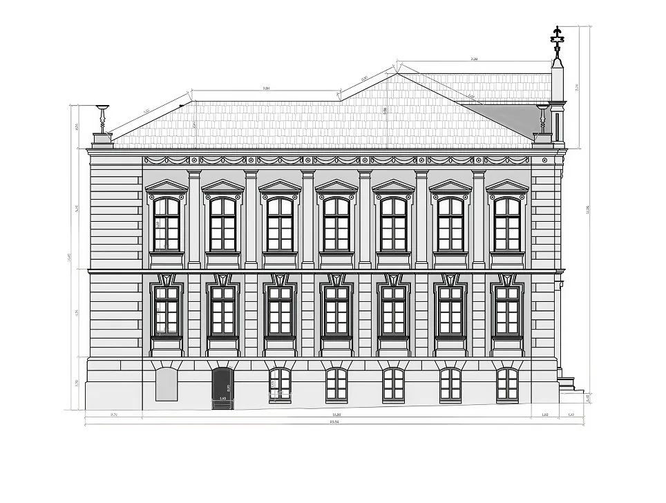
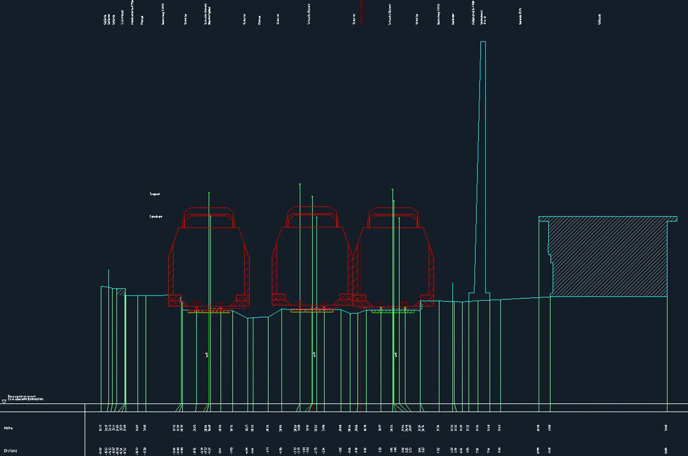
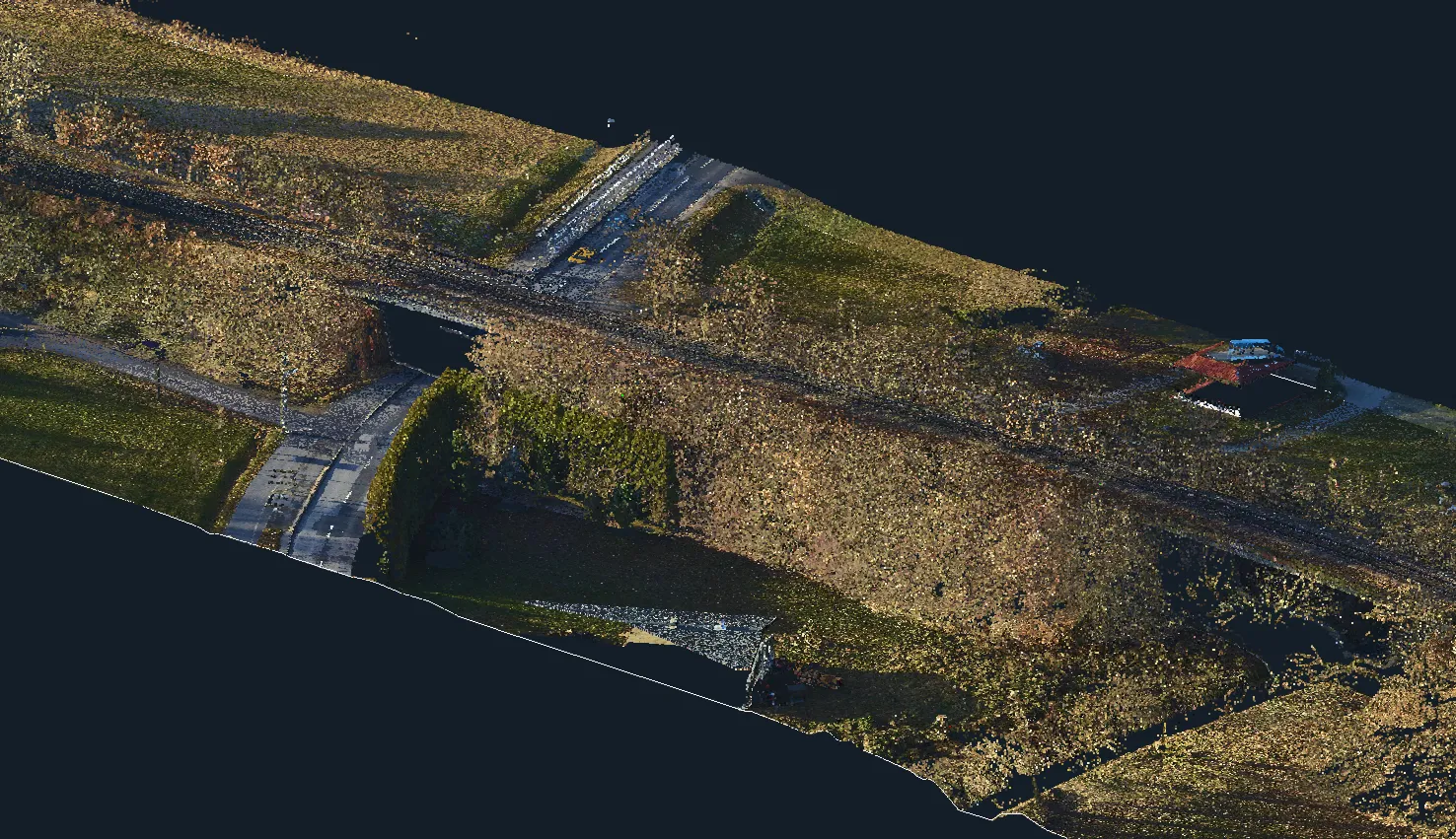
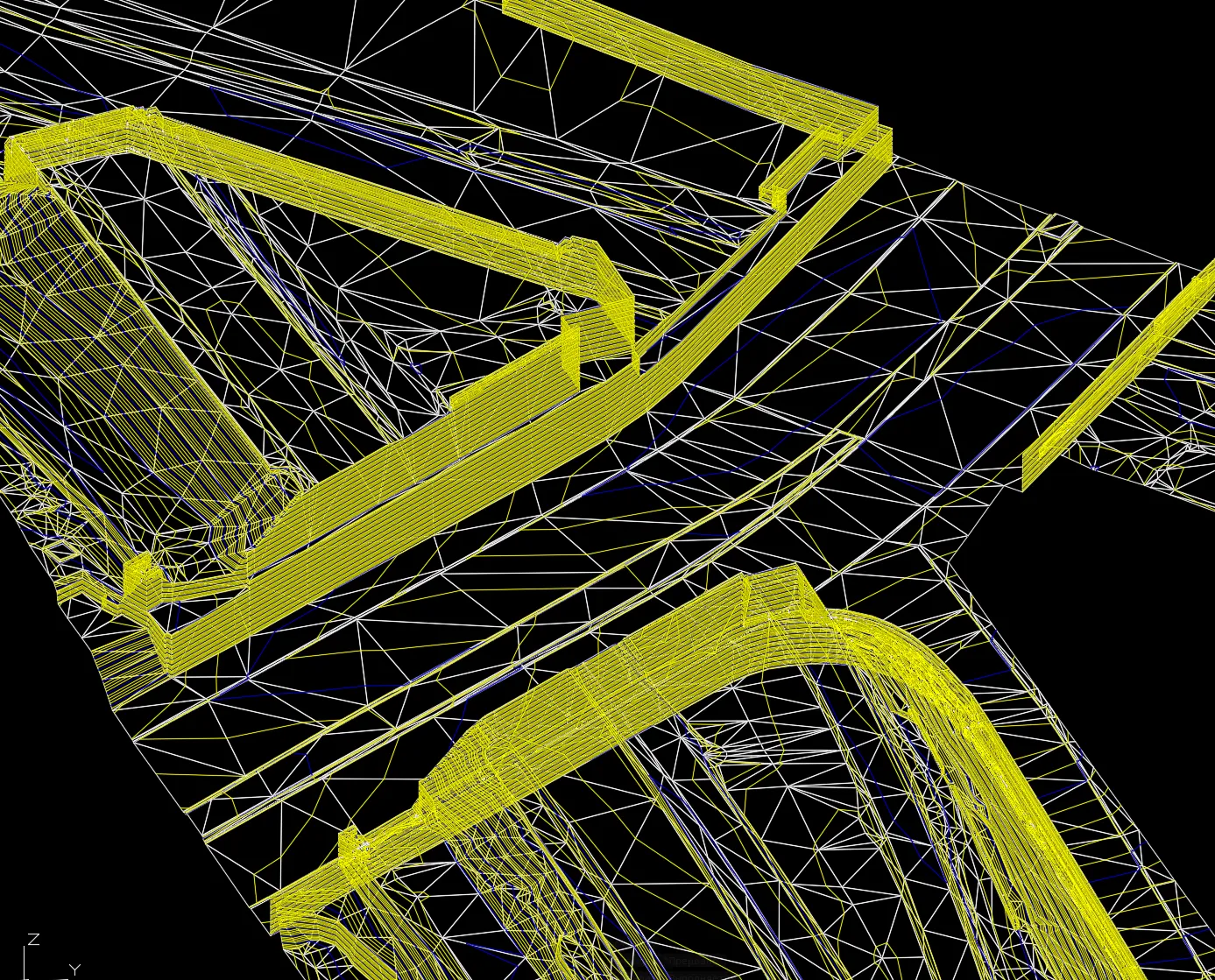
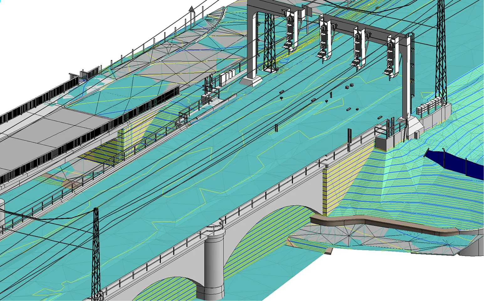
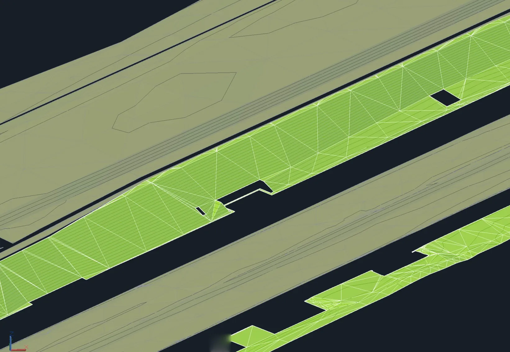
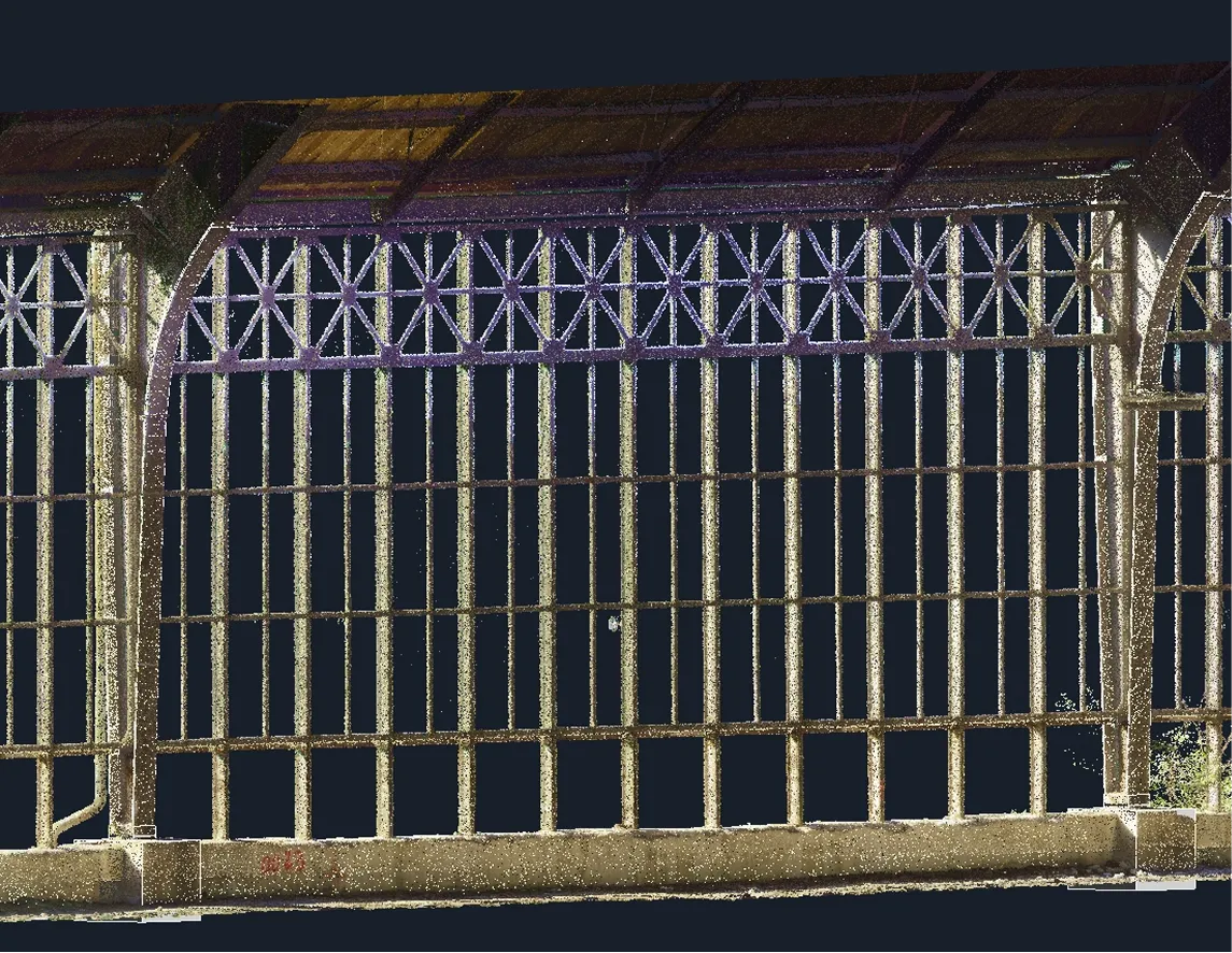
BIM Modelling of Engineering Structures Along a Railway Section

BIM
3D
Point Cloud
Revit
Archizem’s engineering team delivered BIM models for the key engineering assets along the railway corridor, including bridges, culverts, level crossings, cable ducts and manholes, signalling elements, and other infrastructure components.

Creation of BIM Models for 12 Columns Supporting a Station Roof

BIM
3D
Point Cloud
Revit
Archizem’s team developed a BIM model of 12 columns and their associated foundations for the station roof structure. Any grid/lattice elements between the columns and the roof were outside the project scope.

Receive a data audit and report within 24 hours.

Leave a request

We will check your materials for free (point clouds, DWG, GeoTIFF, etc.) and provide a calculation of budget and deadlines within 24 hours
Grazie! Your submission has been received!
We have received your request and will contact you shortly
Oops! Something went wrong. Please try again.
0
%